23 km | 28 km-effort
SityTrail - 3818939 - cotentin-jour-5-v1
chessyca
Benutzer GUIDE
Länge
26 km
Maximale Höhe
91 m
Positive Höhendifferenz
263 m
Km-Effort
30 km
Min. Höhe
2 m
Negative Höhendifferenz
340 m
Boucle
Nein
Erstellungsdatum :
2024-08-30 20:13:55.287
Letzte Änderung :
2024-08-31 13:31:52.005
6h45
Schwierigkeit : Medium
Kostenlosegpshiking-Anwendung
Über SityTrail
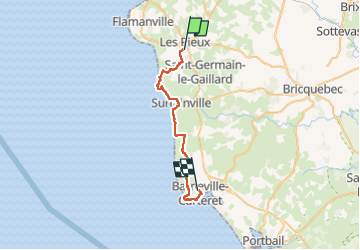
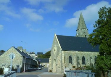
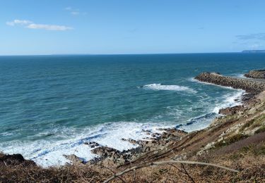
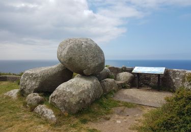
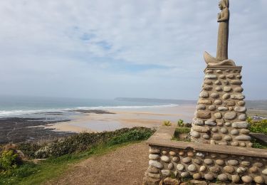
Tour Zu Fuß von 26 km verfügbar auf Normandie, Manche, Les Pieux. Diese Tour wird von chessyca vorgeschlagen.
Beschreibung
Séjour Didier 5ème étape
Fin septembre début Octobre
Ort
Land:
France
Region :
Normandie
Abteilung/Provinz :
Manche
Kommune :
Les Pieux
Standort:
Unknown
Gehen Sie:(Dec)
Gehen Sie:(UTM)
586211 ; 5484514 (30U) N.
Kommentare
Touren in der Umgebung
De Benoîtville à Saint Christophe du Foc - Circuit n° 12
Mountainbike
Medium
(1)
Benoîtville,
Normandie,
Manche,
France
21 km | 24 km-effort
1h 45min
Ja
Tour du cap de Flamanville
Wandern
Schwierig
Flamanville,
Normandie,
Manche,
France
11,5 km | 14,6 km-effort
4h 0min
Ja
Rando des Caps 2013 - 65 km - Flamanville
Mountainbike
Schwierig
Flamanville,
Normandie,
Manche,
France
60 km | 73 km-effort
3h 30min
Ja
Rando des Caps 2013 - Flamanville
Mountainbike
Schwierig
Flamanville,
Normandie,
Manche,
France
41 km | 48 km-effort
2h 45min
Ja
Entre terre et mer - Les Pieux
Laufen
Schwierig
Les Pieux,
Normandie,
Manche,
France
23 km | 28 km-effort
3h 0min
Ja
21 Aout Flamanville plage du sciotot boucle terre et mer
Wandern
Sehr schwierig
Flamanville,
Normandie,
Manche,
France
22 km | 27 km-effort
5h 26min
Ja
Le Rozel - Cap de Rozel
Wandern
Medium
Le Rozel,
Normandie,
Manche,
France
7,9 km | 9,3 km-effort
2h 47min
Ja